The Laurentian Mixed Forest (LMF) Province traverses northern Minnesota, Wisconsin, and Michigan, southern Ontario, and the less mountainous portions of New England. In Minnesota, the LMF Province covers a little more than 23 million acres (9.3 million ha) of the northeastern part of the state.In Minnesota, the Province is characterized by broad areas of conifer forest, mixed hardwood and conifer forests, and conifer bogs and swamps. The landscape ranges from rugged lake-dotted terrain with thin glacial deposits over bedrock, to hummocky or undulating plains with deep glacial drift, to large, flat, poorly drained peatlands. Precipitation ranges from about 21 inches (53 cm) annually along the western border of the Province to about 32 inches (81 cm) at its eastern edge in Minnesota. Normal annual temperatures are about 34°F (1°C) along the northern part of the Province in Minnesota, rising to 40°F (4°C) at its southern extreme.Under influence of climate, the overall pattern of vegetation change across the Province in Minnesota is from warm and dry habitats in the southwest to cooler and moister ones in the northeast. Linked to climate are several other factors with southwest to northeast gradients that have important influence on vegetation and species ranges. Most notable are growing-degree days, evapotranspiration, and the depth and duration of snow cover.


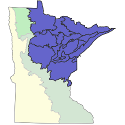
Sections are units within Provinces that are defined by origin of glacial deposits, regional elevation, distribution of plants, and regional climate. Minnesota has 10 sections. Printable map of sections
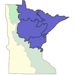
Subsections are units within Sections that are defined using glacial deposition processes, surface bedrock formations, local climate, topographic relief, and the distribution of plants, especially trees. Minnesota has 26 subsections. Printable map of subsections