 |  |
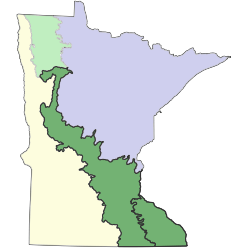
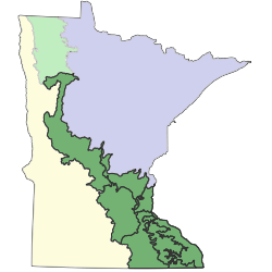
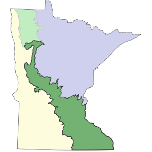
The Eastern Broadleaf Forest (EBF) Province traverses Minnesota, Iowa, Wisconsin, Michigan, Ohio, New York, Illinois, Indiana, Kentucky, Tennessee, Missouri, and Arkansas. In Minnesota, the EBF Province covers nearly 12 million acres (4.9 million hectares) of the central and southeastern parts of the state and serves as a transition, or ecotone, between semi-arid portions of the state that were historically prairie and semi-humid mixed conifer-deciduous forests to the northeast. The western boundary of the province in Minnesota is sharply defined along much of its length as an abrupt transition from forest and woodland to open grassland. The northeastern boundary is more diffuse, with a gradual transition between eastern deciduous forests and the mixed conifer-hardwood forests of northern Minnesota.The land surface of the province is largely the product of Pleistocene glacial processes. The northwestern and central portions of the province were covered by ice in the last glaciation and are characterized by thick (100–300 feet [30–90 meters]) deposits of glacial drift that is highly calcareous and of Wisconsin Age at its surface. Glacial lakes associated with the last glacial advance contributed large volumes of meltwater to rivers that cut deep valleys along the present course of the Minnesota, St. Croix, and lower Mississippi rivers. In the southeastern part of the province, which was not covered by ice in the last glaciation, headward erosion of streams draining into the deepening Mississippi valley dissected the flanking uplands, exposing Paleozoic bedrock and pre-Wisconsin drift. The waning stages of the glacial lakes contributed massive amounts of sediment to the river valleys and provided a source of silt that was redeposited by wind as a mantle of loess over the eroded lands in the southeastern part of the province.The EBF Province coincides roughly with the part of Minnesota where precipitation approximately equals evapotranspiration; it seems likely that this aspect of climate has an important influence on plants, as many forest species reach their western range limits and several prairie species reach their eastern range limits within the province. Precipitation in the province increases from about 24 inches (60cm) annually in the northwestern portion to 35 inches (90cm) in the southeast, while normal annual temperatures range from 38°F (3°C) in the northwest to 46°F (8°C) in the southeast.