
El Niño and La Niña episodes
Courtesy: Golden Gate Weather
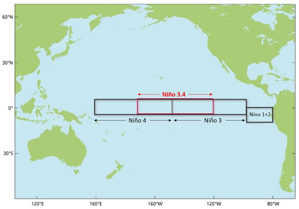
El Niño is the shorthand name for warmer-than-normal surface and near-surface waters that develop and persist near the equator in the central and eastern Pacific Ocean, generally for periods of nine months or more. This oceanic warming reduces the speed of winds blowing westward across the equator, leading to a large eastward shift in the typical equatorial and tropical thunderstorm activity in the Pacific Ocean. The altered temperature patterns near the surface of the ocean, and resulting changes in the winds in that region, lead to rather substantial changes in many global weather patterns. The additional heat that originates near the equatorial Pacific often ends up distributed far and wide, producing an overall warming effect globally.Differences in the presumed strength of a given El Niño episode are based on how much warmer than average the equatorial Pacific Ocean is in critical areas. The "
Niño 3.4 region" is the de facto standard for measuring warm or cool episodes in the Pacific.What does a strong or very strong El Niño mean for the winter? Here are some past strong to very strong El Niño episodes and the winters associated with them. There have only been two very strong El Niño events since 1950 (1982-83 and 1997-1998). Both had Meteorological Winters (December-February) that were in the top 6 warmest on record for the Twin Cities for 120 years of record (1895-2014).What about snowfall? In general, Strong to Very Strong El Niño years had below normal snowfall with one exception. 1982-83 had two big snowfall events: 16.5 inches on December 27-28 that deflated the Metrodome the second time in its history and another 13.6 inch event on April 14, 1983 (which deflated the Metrodome again).A lack of snowfall during a strong to very strong El Niño winter doesn't necessarily mean that it will be a dry winter. True, the driest winter on record was the El Niño year of 1957-58, but the second wettest winter on record is the very strong El Niño year of 1982-83. 4.27 inches of the 6.14 inches that fell that winter came in December and over four inches of precipitation came in the span of a week from December 24 (along with a thunderstorm on Christmas Eve) to the snowstorm on December 28.
Precipitation and Snowfall for the Twin Cities with
Strong to Very Strong El Nino Episodes
Year     Season Dep. from    Dec-Feb  Dep. from     Rank
Snow   1981-2010    Precip.  1981-2010     1895-2014
(in)   Normal (in)  (in)     Normal (in)
--------------------------------------------------------------
1957-58  21.2    -33.3        .69     -1.94         1st Driest
1965-66  36.1    -18.3       3.73     +1.10        21st Wettest
1972-73  41.7    -12.7       3.33     +0.70        31st Wettest
1982-83  74.4    +20.0       6.14     +3.51         2nd Wettest
1997-98  45.0     -9.4       2.77     +0.14        48th Wettest
Winter Temperatures for the Twin Cities with
Strong to Very Strong El Nino Episodes
Year     Dec-Feb  Dep. from       Rank            White Christmas?
Temp.    1981-2010       1895-2014
(deg F)  Normal (deg F)
-----------------------------------------------------------------
1957-58  21.4     + 4.4            19th Warmest   No
1965-66  16.8      -0.2            56th Coldest   No
1972-73  17.2      +0.2            57th Warmest   Yes
1982-83  24.5      +7.5             5th Warmest   No
1997-98  26.8      +9.8             2nd Warmest   No
Last modified: August 13, 2015
For more information contact:
[email protected]