The Western Superior Uplands Section (WSU) is a large region of non-calcareous till deposited by glacial ice that advanced southward from the Lake Superior Basin. Most of this till is deposited in level to undulating ground moraines or in drumlins. These landforms are coarse-textured near the southwestern edge of the WSU but become increasingly clayey to the northeast because of later, less extensive advances of glacial ice that incorporated clayey sediments from Glacial Lake Duluth with the glacial till. The areas of coarser drift are occupied by forests dominated by northern red oak, while areas of clayey till have forests of sugar maple, aspen, and birch. Sandy terraces along the St. Croix River and small sand plains in other parts of the Section have fire-dependent woodlands or forests of jack pine, bur oak, northern pin oak, and aspen. Fire-dependent pine, oak, and aspen forests are also present occasionally with mesic hardwood forests on coarse till and drumlins. Peatlands and other wetland communities are present mostly as inclusions within the broad areas of hardwood forest.

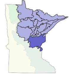
Subsections are units within Sections that are defined using glacial deposition processes, surface bedrock formations, local climate, topographic relief, and the distribution of plants, especially trees. Minnesota has 26 subsections. Printable map of subsections