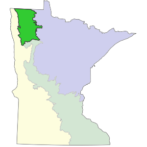
The Tallgrass Aspen Parklands TAP Province covers a small part (about 3 million acres [1.2 million hectares]) of northwestern Minnesota and extends northwestward into Manitoba, Saskatchewan, and Alberta where it is recognized as the Boreal Plains Ecozone. In Minnesota, the province forms a transition, or ecotone, between semi-arid landscapes historically covered by prairie and semi-humid mixed conifer-deciduous forests to the east. The TAP Province is cold and dry. Mean annual precipitation is about 20 inches to 22 inches (51cm to 56cm), with a small proportion coming as snow. Evapotranspiration is greater than precipitation across the province in Minnesota, with deficits ranging from -6 inches (-15cm) in the western edge to -2 inches (-5cm) in the east. Low precipitation, little spring infiltration, and desiccating winds from the Great Plains promote frequent spring fires and severe stress on shrubs and trees, resulting in a landscape dominated by prairie and open, fire-dependent woodland communities. Extreme minimum temperatures are -40°F to -45°F (-40°C to -43°C) or colder, which exceeds the physiological tolerances of some woody species. The land surface of the TAP Province is composed of features that were shaped by glacial ice and by inundation from Glacial Lake Agassiz.

Sections are units within Provinces that are defined by origin of glacial deposits, regional elevation, distribution of plants, and regional climate. Minnesota has 10 sections. Printable map of sections

Subsections are units within Sections that are defined using glacial deposition processes, surface bedrock formations, local climate, topographic relief, and the distribution of plants, especially trees. Minnesota has 26 subsections. Printable map of subsections
