The Prairie Parkland (PPA) Province traverses western Minnesota, extending northwest into Manitoba, west into North Dakota and South Dakota, south into Iowa, Nebraska, Kansas, Oklahoma, and Missouri, and east into Illinois and Indiana. In Minnesota, the province covers just over 16 million acres (6.5 million hectares), coinciding with the part of the state historically dominated by tallgrass prairie. Mean annual temperatures (1971-2000 normals) vary from 36°F (2°C) in the north to 48°F (9°C) in the south. Evapotranspiration is greater than precipitation across much of the province in Minnesota, with deficits reaching -8 inches (-20cm) along the western edge. The extreme southeastern corner of the province is characterized by a small (1 inch [3cm]) precipitation surplus. Precipitation increases from about 18 inches (46cm) annually in the north to 33 inches (84cm) in the south. Low winter precipitation, short duration of snow cover, and desiccating westerly winds promote severe spring fire seasons that favor grassland over forest vegetation.

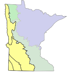
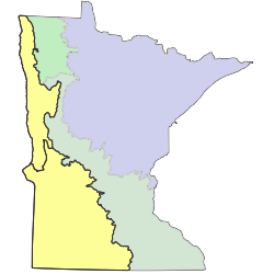
Sections are units within Provinces that are defined by origin of glacial deposits, regional elevation, distribution of plants, and regional climate. Minnesota has 10 sections. Printable map of sections
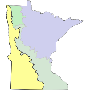
Subsections are units within Sections that are defined using glacial deposition processes, surface bedrock formations, local climate, topographic relief, and the distribution of plants, especially trees. Minnesota has 26 subsections. Printable map of subsections