The Northern Minnesota and Ontario Peatlands Section (MOP) is flat and poorly drained. About half of the section consists of clayey deposits from Glacial Lake Agassiz.The lake deposits are covered primarily by bogs, swamps, fens, and other peatland vegetation. At the eastern edge of the MOP, the peatlands are acidic, deep, and old (>4,000 years) and support extensive areas of acid peatland communities such as black spruce bogs and poor swamp forests.At the western edge of the section, the peatlands are richer in minerals, shallower, and younger (~1,000 years). Tamarack swamps, rich fens, and other rich peatland communities tend to be common in this part of the Section. Some areas, especially along the eastern and southern borders of the MOP in the Littlefork Vermilion Uplands Subsection, have uplands formed of glacial till that was eroded and flattened by wave action from Glacial Lake Agassiz. Mesic and wet forests of aspen, paper birch, spruce, balsam fir, white cedar, and black ash are typical in these areas.Uplands formed of sandy shoreline deposits that mark recessional stages of Glacial Lake Agassiz are present across the MOP. These low, sandy uplands are less extensive than either the peatlands or glacial till uplands. They are characterized by fire-dependent forests of jack pine or red pine.

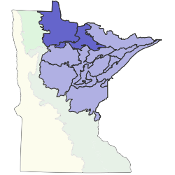
Subsections are units within Sections that are defined using glacial deposition processes, surface bedrock formations, local climate, topographic relief, and the distribution of plants, especially trees. Minnesota has 26 subsections. Printable map of subsections