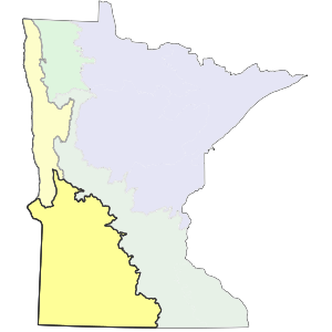
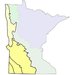
The largest portion of the North Central Glaciated Plains Section (CGP) is a level to rolling region of calcareous till deposited by the Des Moines lobe. This region is bisected by the deeply incised Minnesota River valley. The CGP also contains a highland region known as the Prairie Coteau, which flanked the southwestern edge of the Des Moines lobe in Minnesota, South Dakota, and Iowa. The Prairie Coteau is covered with glacial till and loess predating the Wisconsin glaciation. The historic pattern of vegetation in the CGP reflects features that affected the frequency and severity of fires. Level to rolling till plains, moraines, lake plains, and outwash plains covered much of the section and supported mainly treeless fire-dependent communities, with upland prairie communities by far the most common, covering 82% of the section. These landforms also supported smaller amounts of marsh, wetland prairie, and wet meadow communities. Rugged terrain and lands deeply dissected by rivers supported a mosaic of prairie and wooded communities.


Subsections are units within Sections that are defined using glacial deposition processes, surface bedrock formations, local climate, topographic relief, and the distribution of plants, especially trees. Minnesota has 26 subsections. Printable map of subsections


